We have explored less than 5% of the ocean floor, but it comprises 70% of the earth’s crust. This means we presently can only speculate if hot spots or volcanos there influence climate.
The 3,600 Argo buoy transmitters that have been deployed in the last two decades to survey the ocean under the surface provide only a very tiny sampling of 361,000,000 square kilometers of ocean, and only down to a depth of 2,000 meters. Yet, the average depth of the ocean floor is 3,700 meters and parts are over 10,500 meters (35,000 feet) deep. Truly, the deep ocean floor is invisible.
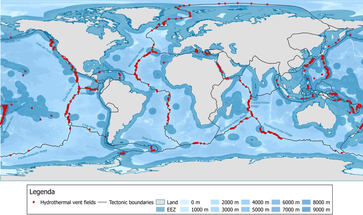
Recently satellite measurements of gravity changes have mapped 20,000 volcanic sea mounts in the shallower oceans, but nobody knows what percentage of these are active
More than once over the earth’s history, thousands of cubic kilometers of flood basalts per year have poured out of hot spots in the earth’s crust. One of these eruptions is believed to have raised the ocean temperature worldwide to 38ºC (100F1).
Mega-plumes of hot water have been observed in shallower waters2, but as mentioned, events in the deeper ocean are invisible. Basalt and ejected water from mid-ocean ridges ranges in temperature from 320 to 400ºC, while volcanic lava is usually well over 1000ºC3. The hottest lava issued from an extremely massive volcano in Hawaii that barely pokes above the ocean: 2000ºC.
Under the oceans the earth’s crust averages about 5 kilometers thick, compared to 30 kilometers thick beneath continents4, so it would not be surprising if the deeper ocean floor contained more active hot spots and volcanos than the continents.
Is it possible for undersea volcanoes to affect world climate? Certainly a VE8 eruption (the size of Yellowstone) would. Perhaps an eruption as large as the high estimate for Tambora would. Otherwise, it seems unlikely as the following calculation shows.
The largest lava flow on land in the 20th century at Novarupta, Alaska was 15 cubic kilometers. 5( The largest on land in recent human history was VE7 Tambora in 1815 with up to 45 cubic kilometers of ejection; the USGS says 100 cubic kilometers, and for Yellowstone over 1,000 cubic kilometers.)
If a 15 cubic kilometer eruption occurred under the ocean surface at 1,250ºC, how large a patch of ocean would be warmed 0.1º C? I assume that 80% of the heat rises in a plume to the top 10 meters of the ocean where it stays (or accumulates) for a year. We have a temperature reduction factor of 10 x 1,250 =12,500 times 80%, =10,000 times, a volume reduction factor of a kilometer/10 meters, times 15 cubic kilometers =15,00,000 square kilometers warmed 0.1ºC. That is a box 3,000 km x 5000 km — substantial but not enough to affect world climate. The entire Pacific Ocean occupies 165.3 million square kilometers.
I have spent many hours looking at satellite-created maps of sea surfaces temperatures in the Pacific Ocean6. The occasional hotspots that appear in the western Pacific north of New Guinea are 2ºC above the surrounding much bigger area of hot sea, but do not persist in the same location from year to year. They could be due to undersea hot spots and eruptions. We don’t know, and we presently have no way of knowing.
We also have no way of knowing what has happened in the deep ocean since the last ice age and before. Are magna outpourings comparable to those in Oregon responsible for the unexplained very abrupt end of the last ice age? Are they responsible for the Egyptian and Minoan warm periods?
I find the evidence convincing, however, that volcanic activity under parts of Antarctica and in the Arctic are contributing to the melting of Antarctic and Arctic ice7. The very warm temperatures in the Arctic have no explanation in current computer models.
- https://en.wikipedia.org/wiki/Flood_basalt; see that article for its footnotes.Two examples here: https://www.pmel.noaa.gov/pubs/outstand/bake1050/bake1050.shtml ↩︎
- Two examples here: https://www.pmel.noaa.gov/pubs/outstand/bake1050/bake1050.shtml ↩︎
- https://tos.org/oceanography/assets/docs/25-1_kelley.pdf, among several other sources ↩︎
- https://pubs.usgs.gov/gip/dynamic/inside.html https://en.wikipedia.org/wiki/Oceanic_crust ↩︎
- https://www.usgs.gov/faqs/what-was-largest-volcanic-eruption-20th-century ↩︎
- The monthly sea surface temperature maps, for your examination, may be found here: https://iridl.ldeo.columbia.edu/maproom/Global/Ocean_Temp/Monthly_Temp.html ↩︎
- See the evidence for this here: https://static1.squarespace.com/static/55315cdae4b03d5a7f6f23e1/t/5d9a1b96f4429f27c0da1d95/1570380698655/Plate+Climatology+Theory_Detailed+Manuscript.pdf ↩︎